
Newark Road – Imlay City
1040 S Blacks Corners Road
Imlay City, MI 48444
On-Site Investigation Report & Physical Site Studies updated 5/4/2026
Marketing Flyer updated 5/12/26
CITY
Imlay City
COUNTY
Lapeer
ACRES
181 acres
PRICE
Negotiable
ZONING
Industrial
DOWNLOAD
Marketing Flyer
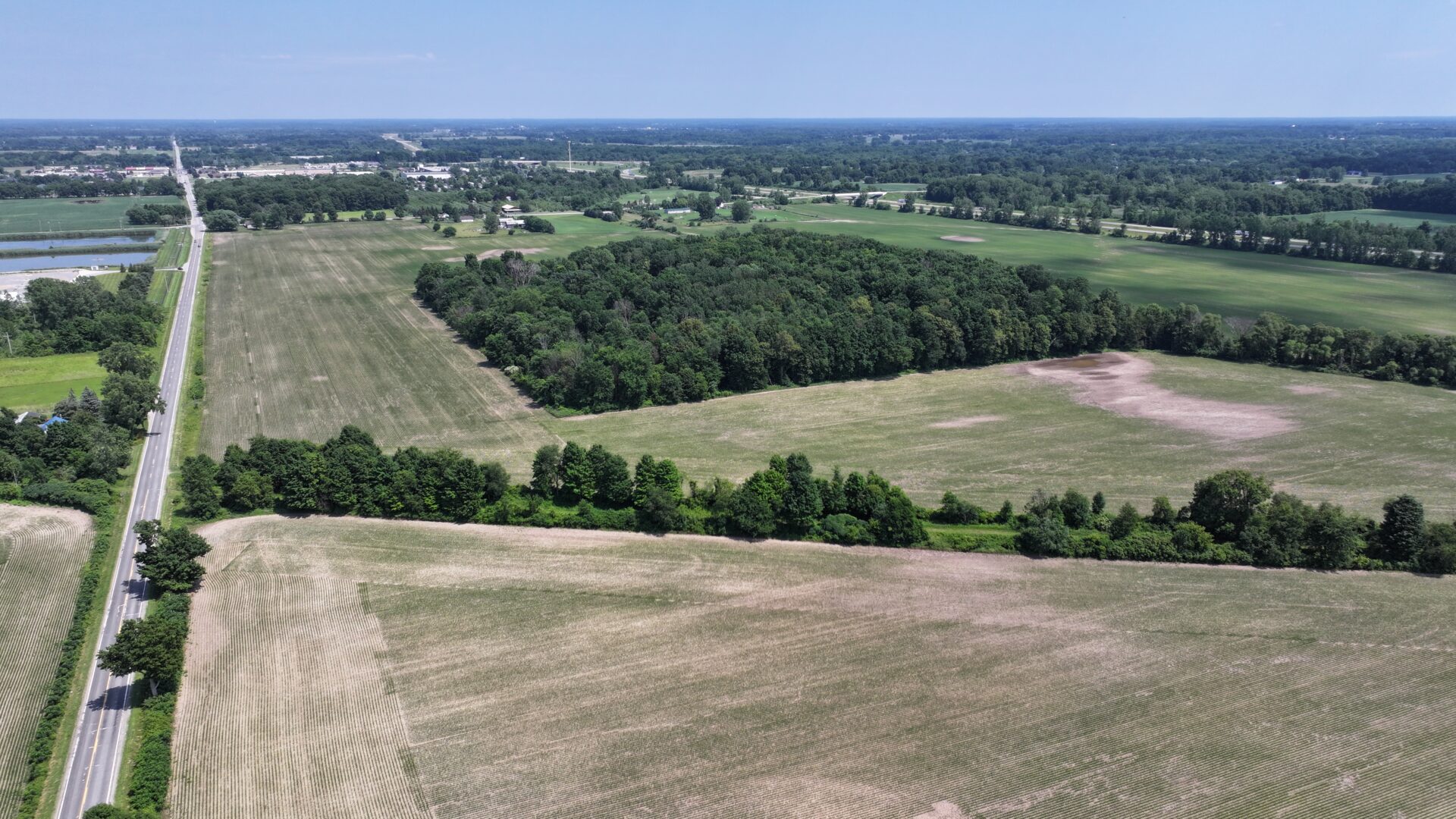
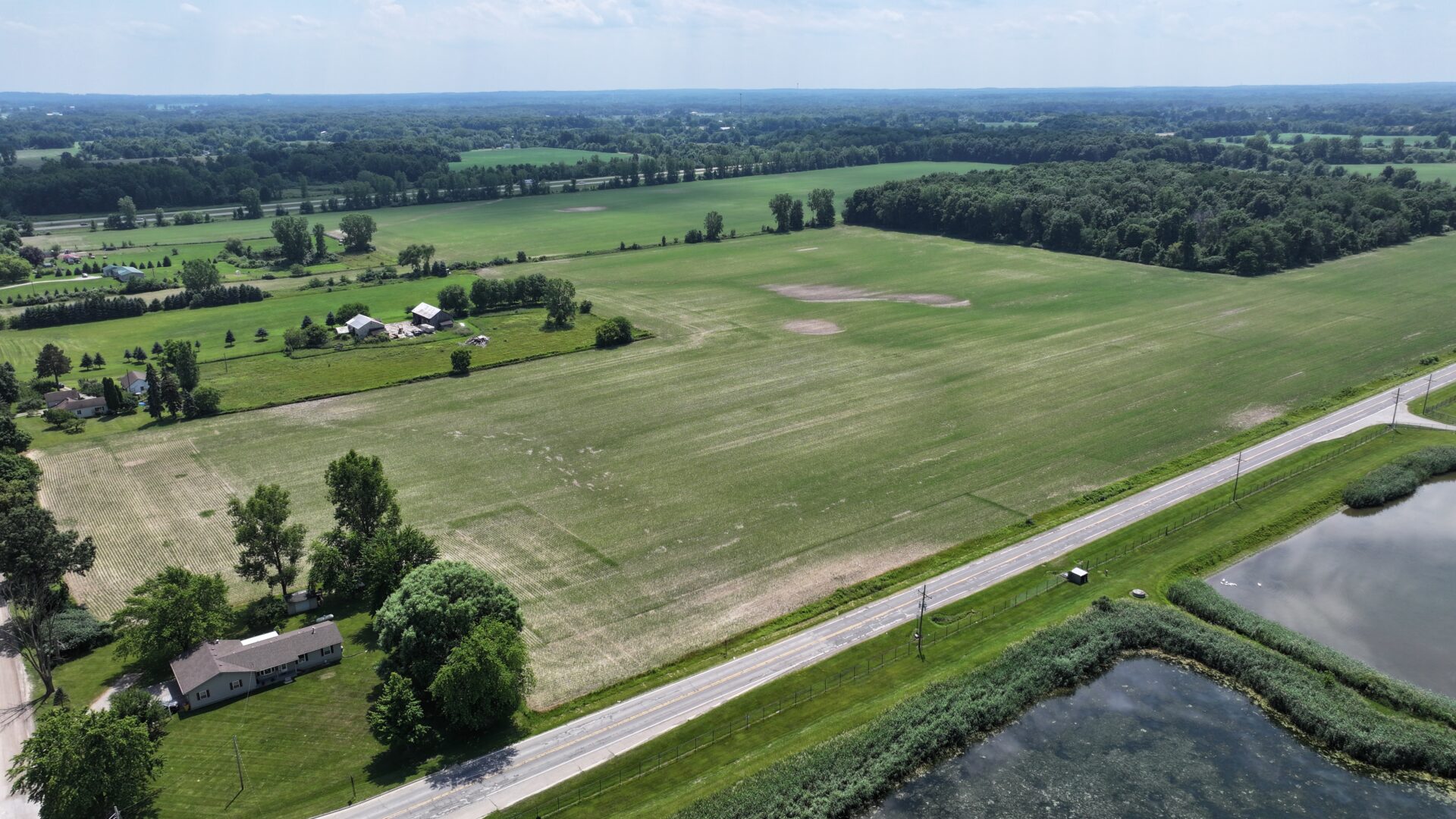
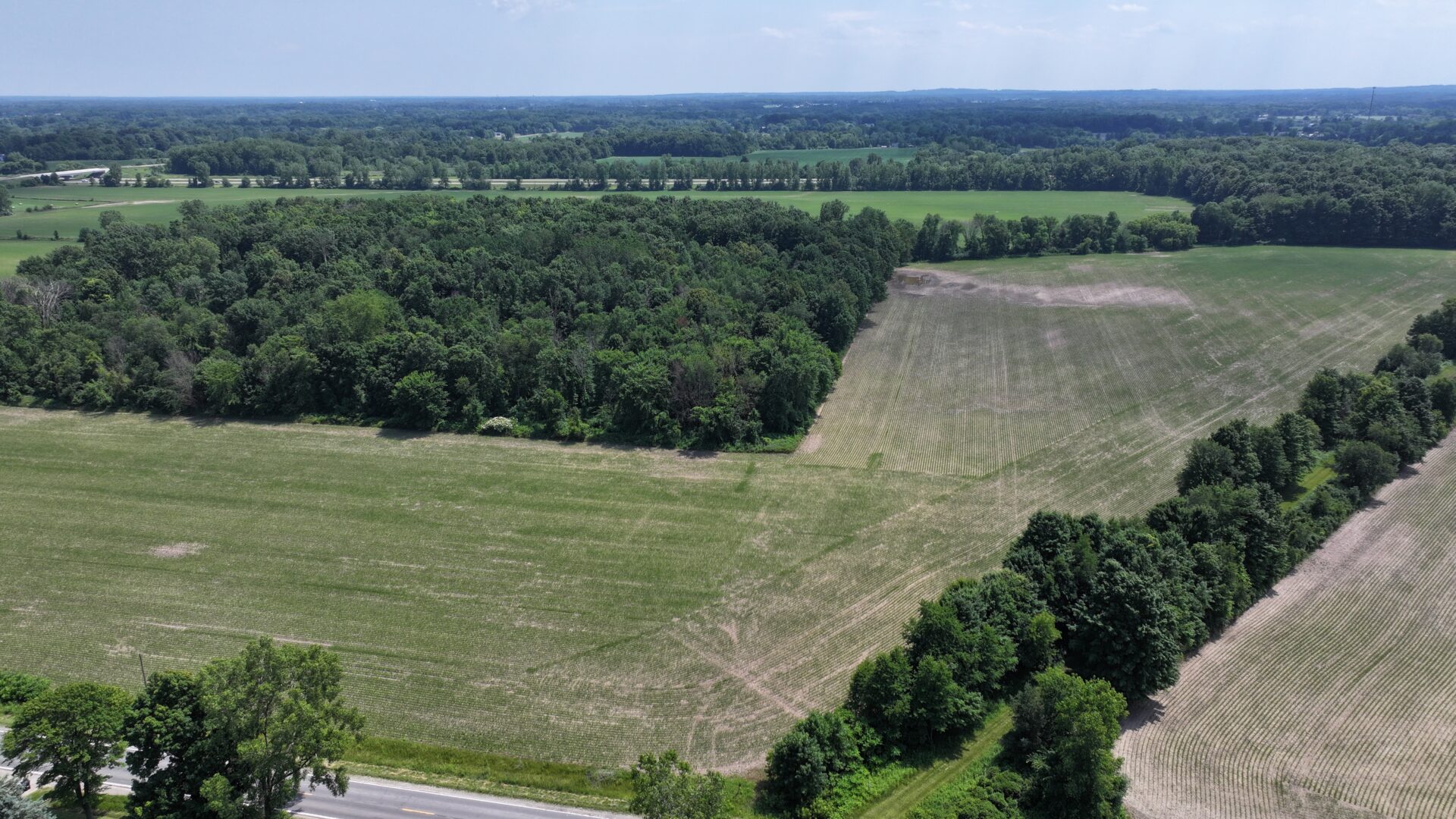
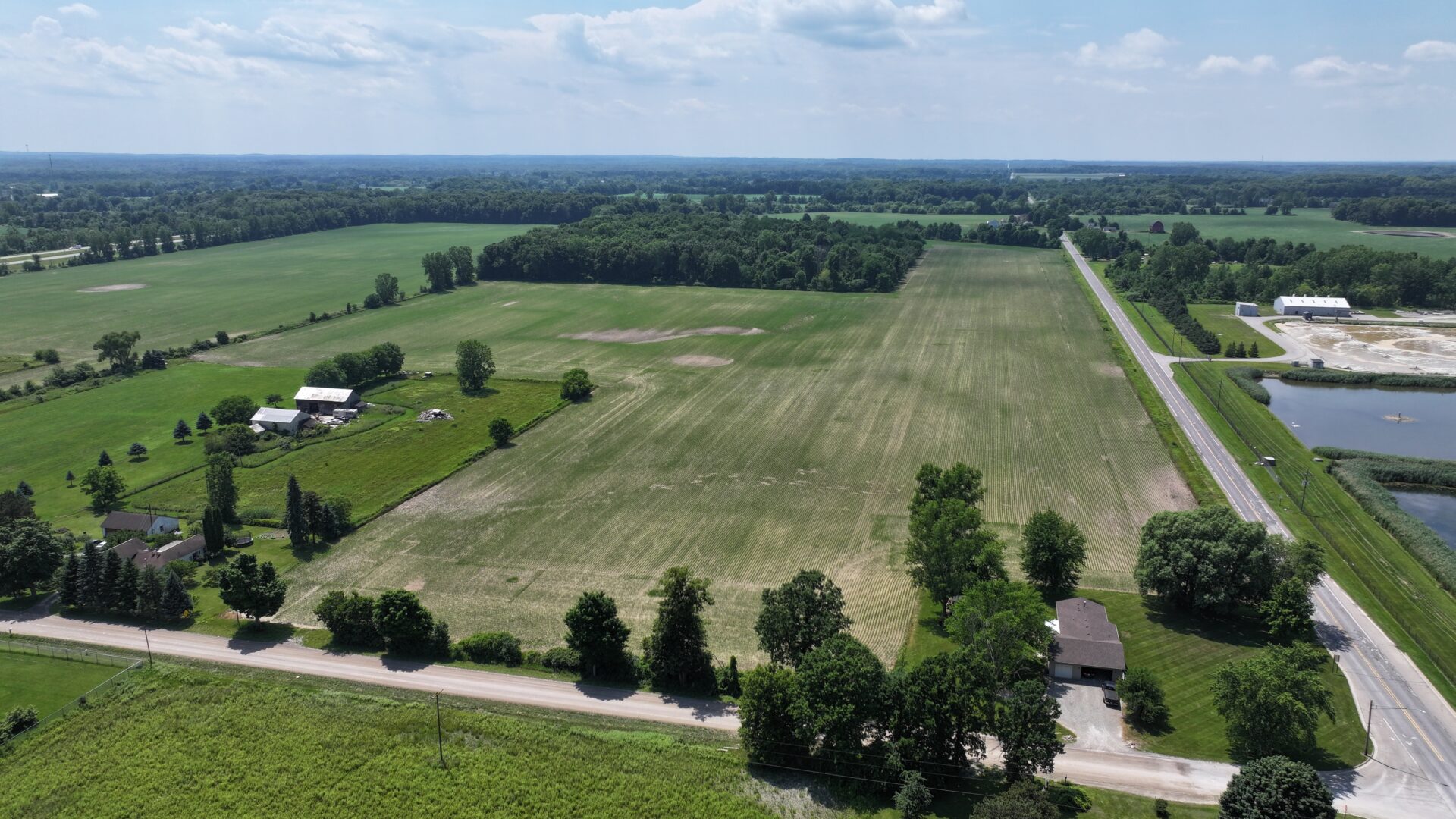
Property Description
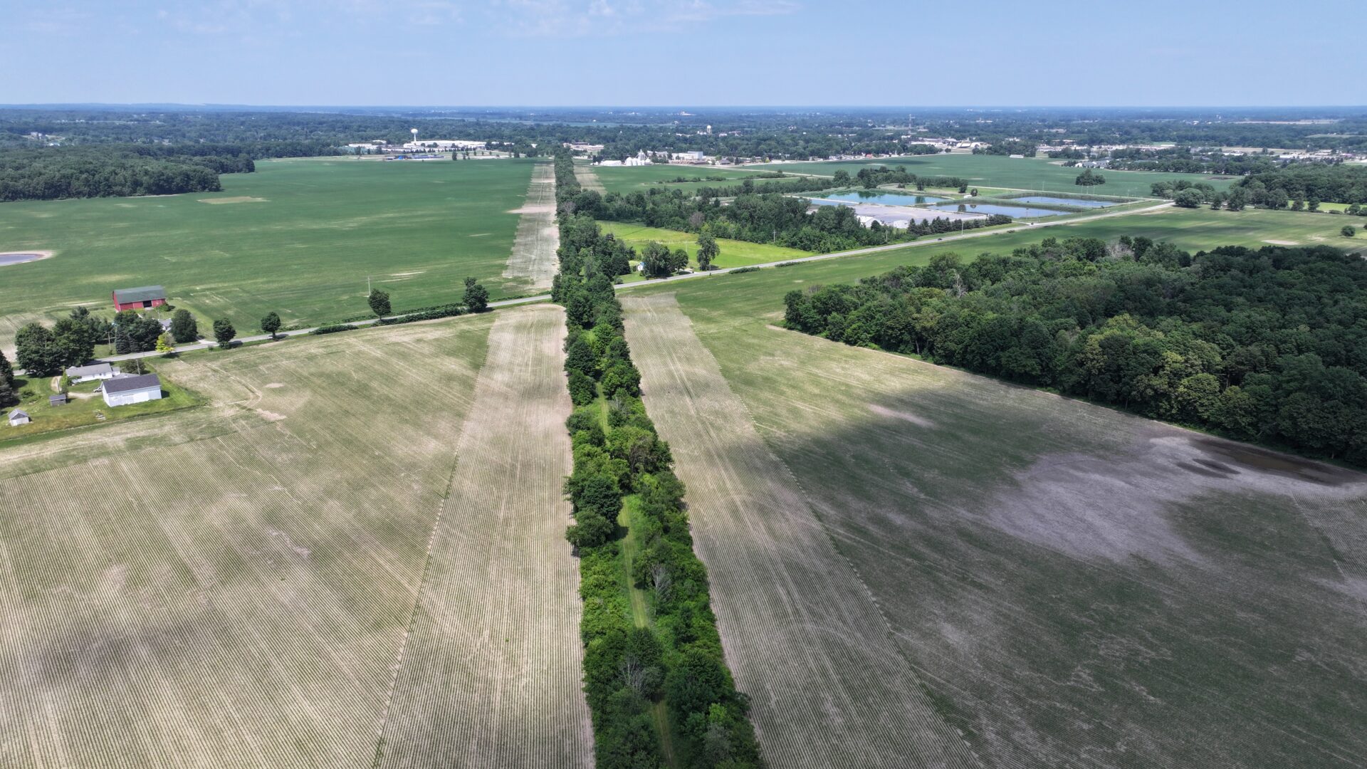
1040 S Blacks Corners Road is a 181-acre site recently rezoned for industrial use located in Imlay City, MI. The property is well connected to infrastructure, benefiting from proximity to Interstate I-69, M-53 and the nearby railroad. Located 30 minutes East of Flint and 30 minutes north of Macomb, the site benefits from a large nearby labor pool.
In 2025, the site underwent a comprehensive due diligence review through the VIP program, including a detailed site condition analysis, comprehensive information on utility providers and capacity, and a comprehensive report on site details. In 2025, the site also underwent the On-Site Investigation stage of the VIP program, undergoing additional site diligence and enhancement of the previously completed report (full report in the document library below).
Zoning and Land Use
Zoning: I-2: General Industrial
Current Land Use: Agricultural Vacant Land
Future Land Use: Industrial
Site Conditions
Greenfield or Brownfield: Greenfield
Above ground structures: None
Floodplain: None
Wetlands: Wetlands are present on the parcel in the southwest corner of site.
Topographic Elevation: Elevation of the site ranges between approximately 835 and 865 feet above sea level.
Soil Types:
-
Brookston loam (Bw) – Poorly drained.
-
Conover loam (CvA), 0-2% slopes
-
Conover loam (CvB) , 2-6% slopes
-
Lapeer sandy loam (LaB), 2-6% slopes
-
Matherton loam (MhA), 0-2% slopes
Easements:
-
Brinker Drain Easement
-
Gas Pipeline Easement
Utilities

Electric
Provider: DTE Energy
Capacity to Serve Demand:
- Short Term Capacity: 1MVA
- Long Term Capacity: Can support 15MW (higher loads will be evaluated separately)
Assumed Demand: 15 MW
Nearby Infrastructure Detail: 13.2 kV aerial system on north side of Newark Road

Natural Gas
Provider: Consumers Energy
Capacity to Serve Demand: 26” High pressure transmission line Located approximately 12 miles SW at Rochester Road in Leonard
Assumed Demand: 26 MCFH
Nearby Infrastructure Detail: 6” distribution gas main with 200 psi at corner of Newark Road and S Blacks Corners Road

Water
Provider: Imlay City
Capacity to Serve Demand: Not available
Assumed Demand: 30,000 GPD baseline demand
Nearby Infrastructure Detail: Further coordination with local DPW required to local infrastructure able to serve site

Sewer
Provider: Imlay City
Capacity to Serve Demand: Not available
Assumed Demand: 200,000 GPD
Nearby Infrastructure Detail: Further coordination with local DPW required to local infrastructure able to serve site
Workforce Data
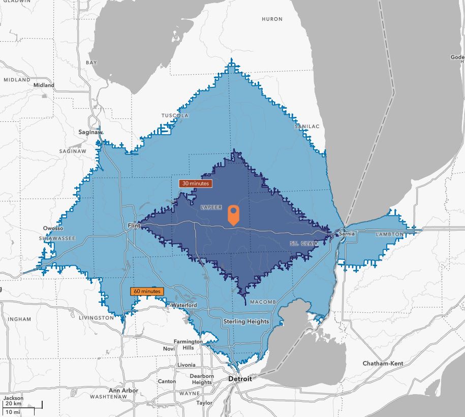
30-Minute Drive
199,199
Population
6,187
Total Businesses
61,155
Active Workforce
60-Minute Drive
2,553,267
Population
86,618
Total Businesses
1,052,293
Active Workforce
Transportation
Proximity to Highways
Site access on Newark & S Blacks Corners Road
1.7 miles to I-69 access
Proximity to Rail
Less than 2 miles to Class 1 Canadian National Railway
Proximity to Airports
70 miles to Detroit Metro Airport (Romulus, MI)
14 miles to Dupont Lapeer Airport (Lapeer, MI)
Document Library
On-Site Investigation Report
Marketing Flyer
Demographic & Business Data
Workforce Profile
Regional Overview
Completed Physical Site Studies
Test Fit – Completed 12/19/2025
Contour Map – Completed 12/19/2025
ALTA Survey – Completed 1/5/2026
Geotechnical Report – Completed 11/10/2025
Traffic Impact Study – Completed 1/12/2026
T&E Species Study – Completed 12/19/2025
Phase I ESA – Completed 9/23/2025
Wetland Delineation – Completed 12/19/2025
Conceptual Utility Routing – Completed 12/19/2025
Site Contacts
Site Representative
Chad Stoldt
Stoldt Farm Family Ventures LLC
Email: cstoldt90@gmail.com
Phone: (810) 441-6431
County Contact
Sam Moore
Lapeer Development Corporation
Email: Sam@lapeerdevelopment.com
Phone: (810) 667-0080
Program Contact

Shannon Selby
Vice President of Real Estate