Yorktown Commons
Willis Road & US-23
York Township, MI 48160
Site information updated 4/25/2025
CITY
York Township
COUNTY
Washtenaw
ACRES
110 acres
PRICE
Negotiable
ZONING
Planned Unit Development
DOWNLOAD
Marketing Flyer
Property Description
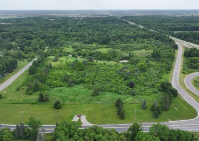
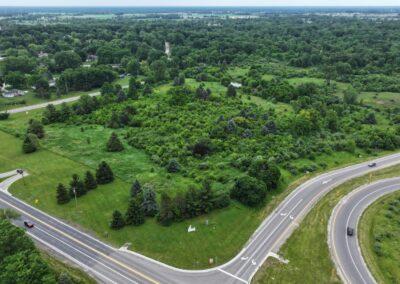
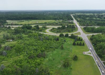
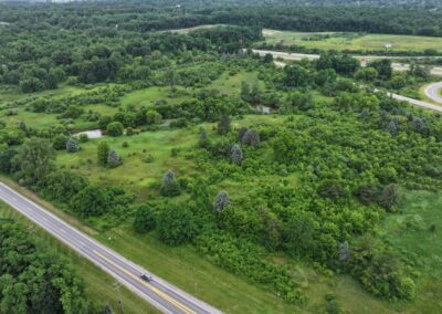
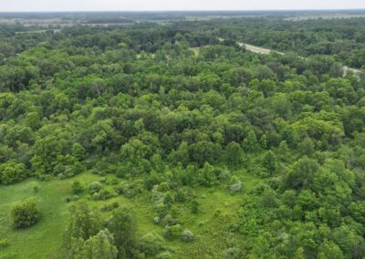
Yorktown Commons is 110-acre PUD site located in York Charter Township, Michigan. The property is well connected to infrastructure, benefiting from 0.5 miles of US-23 property frontage and nearby railroad. Located just 5 miles south of the city of Ann Arbor and the University of Michigan, the site also benefits from the nearby labor pool.
In 2025, the site underwent a comprehensive due diligence review through the VIP program, including a detailed site condition analysis, comprehensive information on utility providers and capacity, and a comprehensive report on site details (full report in the document library below).
Zoning and Land Use
Zoning: PUD Planned Unit Development
Current Land Use: Vacant Land
Future Land Use: Development
Site Conditions
Greenfield or Brownfield: Greenfield
Above ground structures:
- Storage barn located in the southeast corner of the parcel S-19-11-401-008
- Residential home located in the center of parcel S-19-11-401-008
- Storage shed located along the eastern edge of parcel S-19-11-401-009
- Utility poles and overhead lines located along the southern edge and in the center of parcel S-19-11-100-011
Floodplain:
- No 100-year floodplain
- No 500-year floodplain
Wetlands:
- Wetlands present along Buck Creek, which bisects parcel S-19-11-401-009
- Wetlands present along the US-23 and Carpenter Road property frontage
Topographic Elevation: Elevation of the site ranges between extrema values of 748 and 819 feet above sea level, with an average elevation of approximately 781 feet above sea level
Soil Types:
- Adrian muck (Ad)
- Gilford sandy loam, till plain, 0 to 2 percent slopes (Gf)
- Morley loam, 6 to 12 percent slopes (MoC)
- Spinks loamy sand, 0 to 6 percent slopes (SpB)
- Spinks loamy sand, 6 to 12 percent slopes (SpC)
- Spinks-Oshtemo loamy sands, 0 to 6 percent slopes (SrB)
- Thetford loamy sand, 0 to 4 percent slopes (ThA)
- Wauseon fine sandy loam (Ws)
Easements: ALTA survey identifies onsite electrical, telephone, gas, and storm lines with no associated easements. Correspondence with local public and private utility provides should be performed to confirm title findings prior to beginning any earthmoving activities.
Utilities

Electric
Provider: DTE Energy
Capacity to Serve Demand:
- Short Term: 1.0 MW Temporary Service
- Long Term: 15 MW
Assumed Demand: 15 MW
Nearby Infrastructure Detail: 13.2 kV distributions lines available within 100 feet of the site. 120 kV transmission lines located approximately 1 mile away.

Natural Gas
Provider: DTE Energy
Capacity to Serve Demand: 18,720 MCF/Month (26 MCFH * 24 hours * 30 days)
Assumed Demand: 26 MCFH
Nearby Infrastructure Detail: 2” PLA 60# 1980 along Carpenter Road located approximately 100 feet away from the site.

Water
Provider: Ypsilanti Community Utility Authority
Capacity to Serve Demand:
- None existing
- 563 REU’s after required infrastructure improvements.
Assumed Demand:
- 563 REU’s after required infrastructure improvements.
- Total System: 1,365 REUs per YCUA Water and Sewer Agreement (Restated in April of 2021)
Nearby Infrastructure Detail: Closest available wet utilities are located north along Bemis Road – infrastructure extension is required as described in the YCUA Water and Sewer Agreement document.

Sewer
Provider: Ypsilanti Community Utility Authority
Capacity to Serve Demand:
- None existing
- 563 REU’s after required infrastructure improvements.
Assumed Demand:
- 563 REU’s after required infrastructure improvements.
- Total System: 1,365 REUs per YCUA Water and Sewer Agreement (Restated in April of 2021)
Nearby Infrastructure Detail: Closest available wet utilities are located north along Bemis Road – infrastructure extension is required as described in the YCUA Water and Sewer Agreement document.
Workforce Data
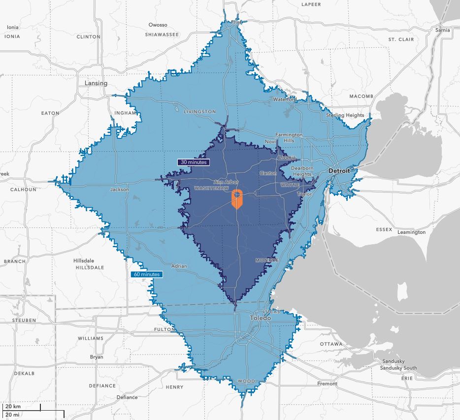
30-Minute Drive
861,471
Population
30,150
Total Businesses
434,936
Active Workforce
60-Minute Drive
4.753,687
Population
164,841
Total Businesses
2,223,853
Active Workforce
Transportation
Proximity to Highways
Existing Site access on E Willis Road; Future site access from Carpenter Road
Nearly one-half mile of US-23 frontage
Proximity to Rail
1.4 miles to Class 3 Ann Arbor Railroad (AA)
5.5 miles to the Milan Railroad Depot and Class 1 Norfolk Southern Railroad Exchange
Proximity to Airports
23 miles to Detroit Metro Airport (Romulus, MI)
46 miles to Coleman A. Young Airport (Detroit, MI)
Document Library
Site Assessment Report with Site Maps
Marketing Flyer
Demographic & Business Data
Workforce Profile
Regional Overview
Site Contacts
Site Representative
Jeffrey Harshe
Vice President and Chief Operating Officer
MAVD
Email: Jharshe@mavd.com
Phone: (734) 929-1007
County Contact
Jennifer Olmstead
Director of Business Development
Ann Arbor SPARK
Email: Jennifer@annarborusa.org
Phone: (734) 845-2843
Program Contact

Shannon Selby
Vice President of Real Estate
